Mapping Central and Marginal Areas - Brief Description
|
|
In many developing countries, lack of spatial information persists on central and marginal areas of a region. Due to this information deficit, regional planners can not easily justify planning measures in order to overcome the disparities between the centers and the remote areas or to separate the issues between them. Furthermore, it is difficult to develop Land Use Plans without knowing about the infrastucture, which is on the one hand a prerequisite of plan implementation, and on the other hand indicating deficits. The following model provides an approach for mapping central and marginal areas specifically to model and highlight:
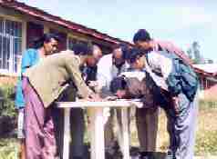
Photo 1: Discussion of maps are part of the planning process in Ethiopia
|
