Land Use Classification Using Remote Sensing - Example: Land Cover Classification of a Protected Area
 |
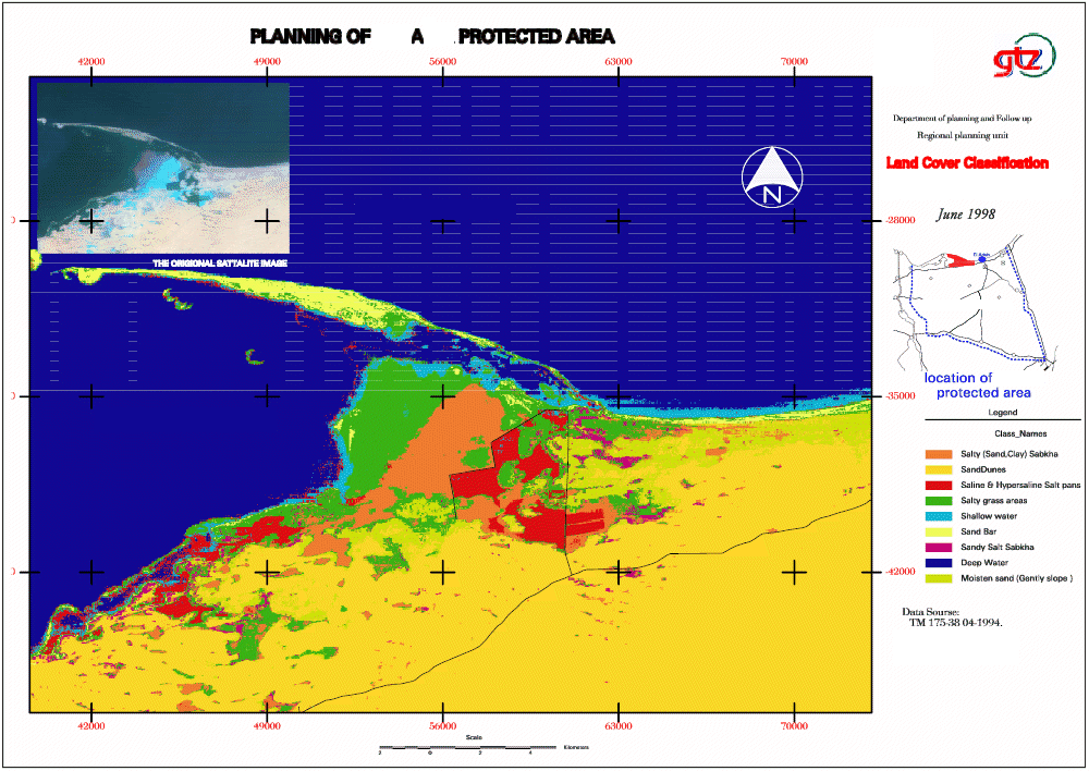
Maps 1 - 3 show a land cover classification of a District and a Reserve using Landsat satellite imagery. The processing of satellite images has been done the “Regional Planning Project” with Erdas Imagine. |
 |
Map 2: Land Cover Classification of the Reserve
Map 3: Land Cover Classification for the District
|