Land Use Classification Using Remote Sensing - Brief Description
|
|
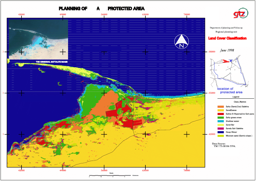
Land use maps can be quickly and accurately updated through various different methods, one being the use multi-spectral satellite images classification. Basically, the method or tool involves analysing the different ways in which light waves (generated through the sun light) are reflected. Specific features (i.e. grass lands or trees) will reflect the same wavelengths. For example, if the wavelength that olive trees emit can be determined then the operator can quickly ascertain all of the locations where olive trees are currently growing.
|