Map Production Using Aerial Photographs / Satellite Imagery - Example: Production of Topographic Base Maps using a Scale of 1:50,000
 |
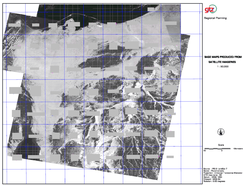
The area is situated in a strategically interesting position. The area is comparatively under-developed partly as a direct result of the numerous conflicts and wars that have taken place in the Peninsula over the past 50 years. Attempts to plan some form of orderly development in the area have also undergone various stages of success. One of the challenges facing a planning team in the area was the need to acquire updated maps. The need for secrecy as a result of the past conflicts has meant that no maps were readily available to the regional planning team. On the other hand, both high and low-resolution satellite images are freely available on the international market and can be acquired at a reasonable price. Satellite images proved to be a valuable source of information and data from which maps could then be produced for planning purposes in the area. The production of maps for the whole area covering some 31,000 km² using high-resolution satellite images (e.g.1 meter resolution) would have been a very costly exercise. A more viable option was to only acquire high-resolution satellite images for the populated areas and lower resolution images for the other areas. Therefore, two LANDSAT-7 scenes (panchromatic with 15 meter resolution) were acquired for the whole Govnernorate, three IRS scenes (panchromatic with 5 meter resolution) and scenes from SPIN-2 covering 200 km² (panchromatic with 2 meter resolution) covering mostly only the city were purchased. Map 2 depicts the satellite images that were acquired and the resulting maps that have been produced.
|
 |
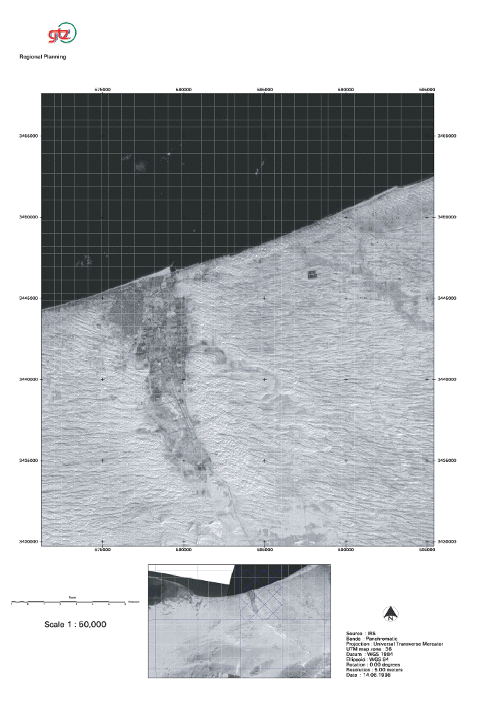
The high-resolution images that were acquired largely covers the coastal zone of the area (see map 3). This is where most of the regional planning studies were conducted and where the planning information was urgently needed. The remaining hinterland was covered through the purchase of the 15 meter resolution images as depicted in map 2. Map 3: The Coastal Zone
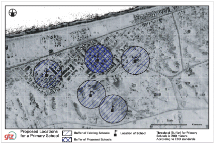
Map 4: Proposed Locations for a Primary School
|
|
|
The high-resolution images for the City provided a good basis for the development of high quality updated maps. The maps and the satellite images were used for several planning exercises including the site location of the proposed railway station, the development plan for the squatter area (i.e. informal settlement area), the development of a tourism map for the city, etc. One notable example where the high-resolution images proved to be of particular use was in the site location for a new school in the area (compare map 4) and the secondary school (compare map 5). As no updated maps existed for the area the satellite images were used to determine the proposed location of the schools. |
 |
A further example where the high-resolution pictures were used was in the formulation of the development plan for a village. In this case very old topographic maps that existed for the area were updated using the satellite images and the new maps were then used as a basis for the development plan. Additional new physical features such as the irrigation canal that is being built in the area were incorporated into the revised maps. The information on the location of the canal was of great importance for the development plan of the village and the surrounding area (compare map 1). |


